Accessing AR Experiences
Geolocation, also called geotagging, is the practice of associating a digital resource with a physical location. A photographer, for example, might include the longitude and latitude coordinates for where a picture was taken, allowing others to pinpoint that location on a map. Increasingly, geolocation is being applied to infrastructure components and end-user devices for the purpose of knowing where people are. This additional layer of location data can make resources much more useful to a broad range of users.
(7 Things You Should Know About Geolocation: https://library.educause.edu/resources/2008/8/7-things-you-should-know-about-geolocation)
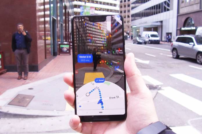
*Google Maps now rolling out AR navigation to selected users
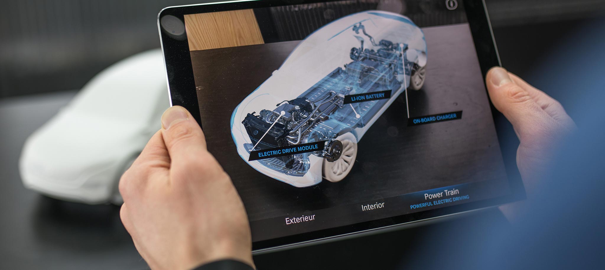
Image Tracking is an augmented reality feature that gives apps the ability to detect 2D images, triggering digitally augmented content to appear in the form of videos, slideshows, 360° panoramas, sound, text, 3D animations, etc.
Video Example: Object Recognition and Tracking Augmented Reality - powered by Wikitude
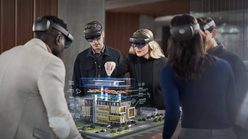
Anchors are objects that AR software can recognize, and they help solve the key problem for AR apps: integrating the real and virtual worlds. AR platforms approach this problem in different ways but they all deal with the same tasks: real world detection and tracking.
Augmented reality (AR) filters are computer-generated effects designed to be superimposed on real-life images. AR filters work with your camera, adding a layer or imagery in the foreground or background of your image.
![How Brands Can Run Brilliant Instagram AR Filter Campaigns [In 2022]](https://static.wixstatic.com/media/bf7add_801ab95ca2d5433c877a39d738d718eb~mv2.gif)